Steps for using your phone location
By finding the product of a point's x coordinate times the next point's y coordinate, then subtracting the y coordinate of the first point times the x coordinate of the second coordinate and dividing by two, you will find the area of the polygon.
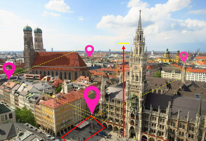
- The first step is to turn on your phones location and stand on one of the points defining the area to be measured.
- The second step is to move in a clockwise fashion visiting all such points.
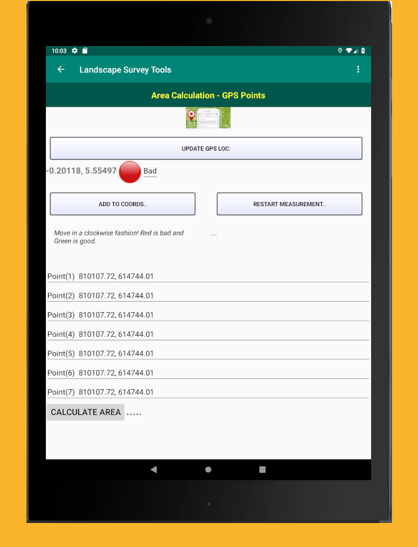
- Finish by visiting the the very last point and then click on the calculate button. That is pretty much it. The area is displayed in the preferred units (as specified in the settings)
Accuracy
The accuracy is indicated by a round button ; red for bad, indicating an accuracy above 5 meters and green for good, indication accuracy below 5 meters. This implies that the smaller the area the higher the more significant the error in the area calculation.
Recommendation
It is recommended that the GPS location is used in computing larger areas.